Pay in 4 interest-free payments of $5.00 Learn more
Shipping Estimate
USA
- USA
- CAN
- USA
- CAN
Ships within 48 hours · Estimated delivery Aug 31 - Sep 5
Pay in 4 interest-free payments of $5.00 Learn more
Ships within 48 hours · Estimated delivery Aug 31 - Sep 5
Many sections are surrounded by BLM land
The map covers all or a portion of one national forest or grassland
north of Weaverville
and other Forest Service facilities for the Jedediah Smith Wilderness and the Winegar Hill Wilderness in the Caribou Targhee National Forest
and Moose Hunting Units 240
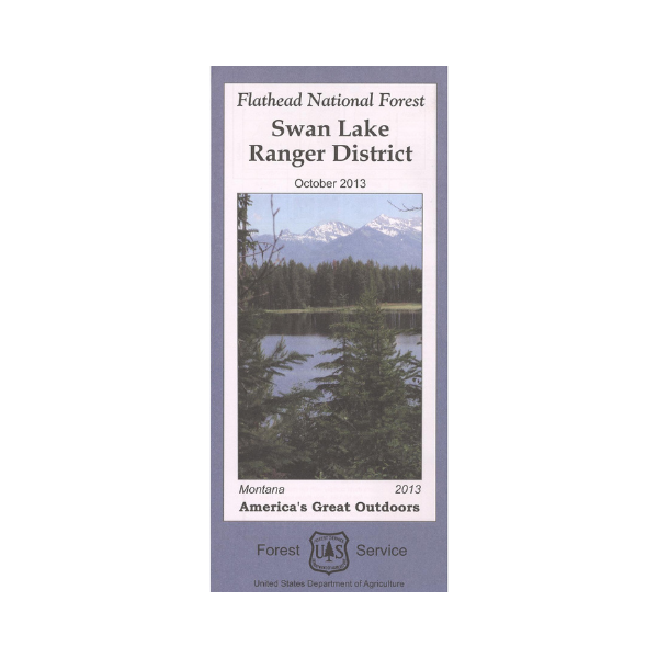
Map: Flathead NF MT Swan Lake Ranger District eagle Many sections are surrounded byThis sectional map of Flathead National Forest covers the Swan Lake Ranger District and the western parts of Hungry Horse and Spotted Bear Ranger Districts. Map is divided into a north half, and a south half. Map(north half) includes the western part of Hungry Horse Reservoir, Jewel Basin Hiking Area, Swan Lake, Swan River State Forest, and the eastern shore of Flathead Lake. Explore the forest roads, scenic drive along the lakes, enjoy camping,